Natural infrastructure
Map and monitor the forests, wetlands, rivers and hillsides that protect communities from fire, flood and erosion.
- Terrain and elevation models
- Vegetation health maps
- Before-and-after reports for storms and fires
Jordan & John builds and flies drones that map forests and watersheds, help restore damaged ground, and keep wild hogs and wolves away from working farms.
Forests, rivers and farms change every season. We fly over them on a set route, see what changed, and tell you what to do about it.
Every service uses the same autonomous drones and the same flight planning. What changes is the camera on board and what we look for.
Map and monitor the forests, wetlands, rivers and hillsides that protect communities from fire, flood and erosion.
Find pollution and debris, map invasive plants, and reseed burned or damaged ground from the air.
Night patrols that find wild hogs and wolves near your crops, track where they go, and move them off your land without harming them.
Aerial photography and video for homes, roofs, job sites and events across Los Angeles. Every flight is planned with you before anything leaves the ground.
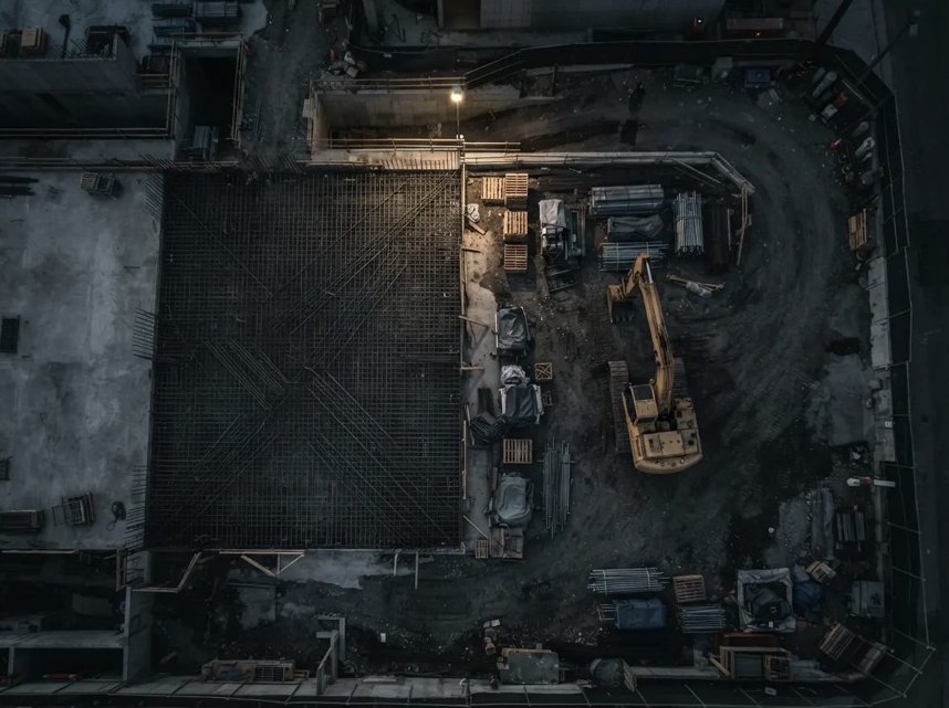
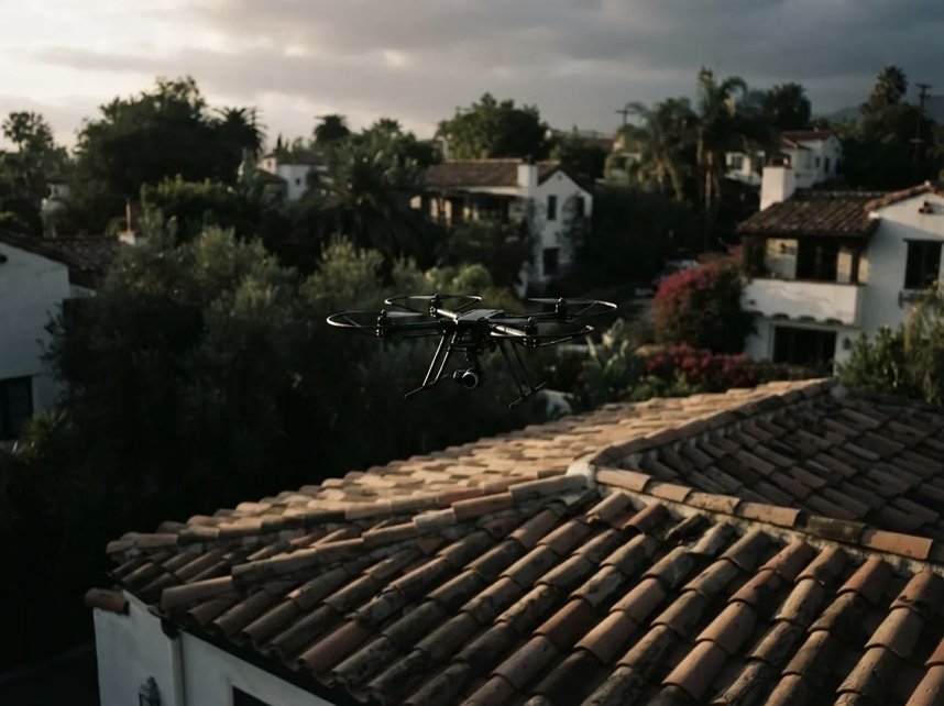
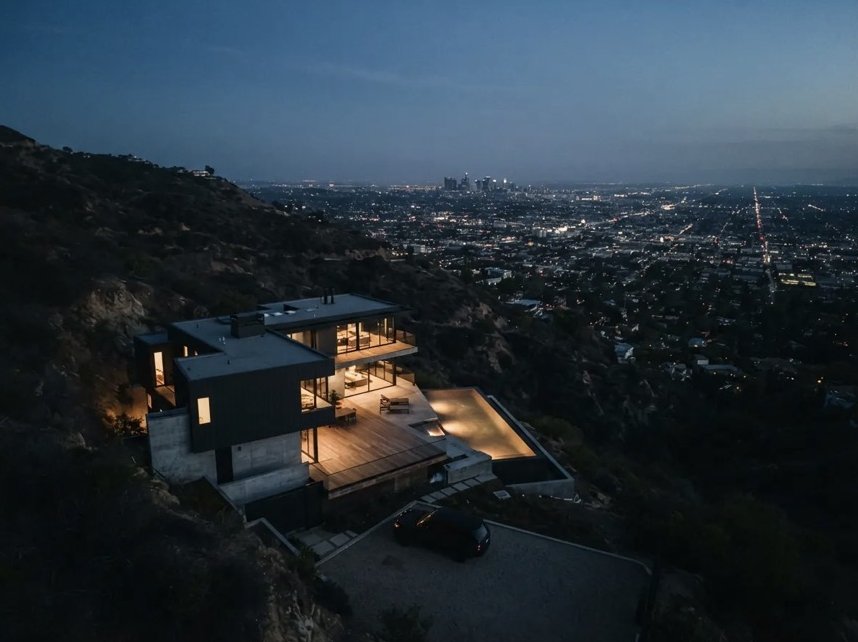
Whether it's a watershed or a wheat field, every job follows the same four steps.
We look at your site with you and set the flight route, the schedule and what to measure.
The drones fly that route on their own, day or night, and land back at their dock to recharge.
We turn the footage into maps, counts and changes since the last flight.
You get a clear report, or an alert on your phone when something needs attention now.
Around Los Angeles you can watch land change fast. A dry hillside burns, the next storm washes it into a creek, and the creek carries it to the ocean. We design our drones and software here, and we test them on that kind of ground.
34.05° N, 118.24° W
About Jordan & JohnSend a location and what you're dealing with. We'll reply with what a flight plan would look like.
Request a demo